
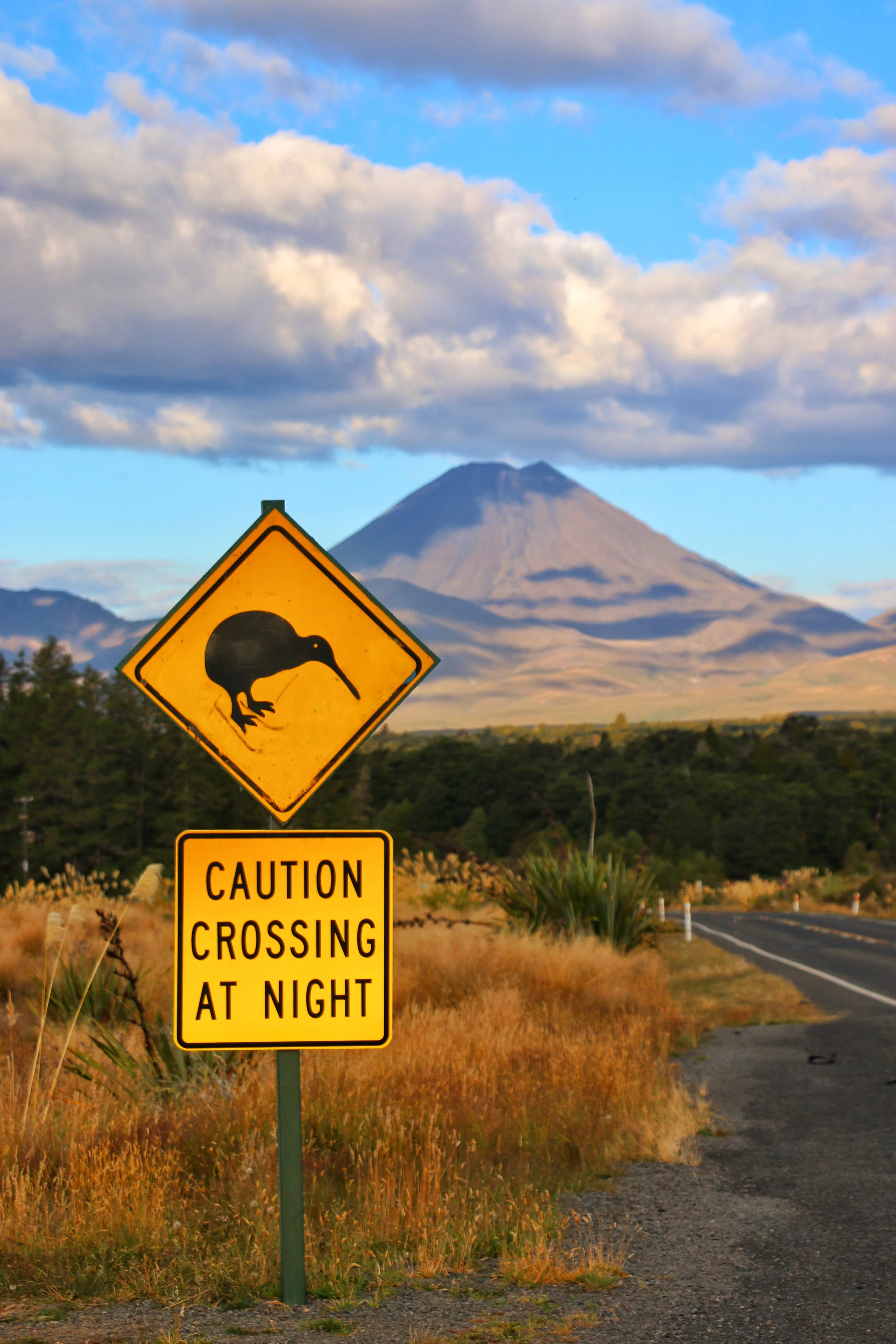
A strong contender for New Zealand’s most popular day trek, The Tongariro Alpine Crossing combines my favorite things in a hike: physically, it requires little more than the willingness to put one foot in front of the other, and it encompasses some truly spectacular scenery. Movie fans might recognize the iconic silhouette of the slumbering volcano Mt. Ngauruhoe as Mt. Doom from Peter Jackson’s Lord of the Rings trilogy.

The road to the mountain
Tongariro National Park is located approximately in the center of the North Island. The crossing is a 1-way 12-mile (or 19.4 km) tramp, starting on the west side of the mountain and ending on the north side. The park has developed an extensive network of shuttles to drop hikers off at one end and pick them up at the other, so you don’t have to worry about how to get back to your vehicle afterwards.
While in theory this trail could be walked in either direction, I would strongly suggest starting at the western end (the Mangatepopo car park) and ending on the north side (the Ketetahi car park), as this direction means doing less actual climbing. Also, there is a segment of the trail with a fairly steep pitch covered in sand and small loose stones - if you go west to north, you’re going down it (fairly easy), whereas if you try to go north to west you’d have to climb up it (much more difficult).

the start of the hike
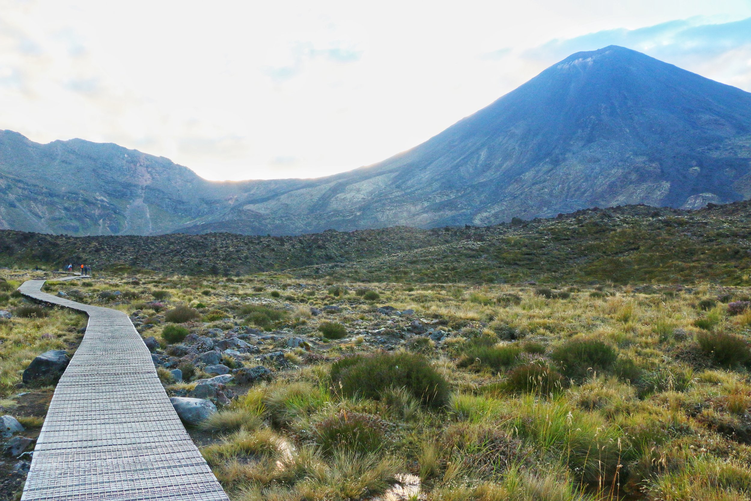
I’m a sucker for those “pathway into the distance” photos
The first four kilometers are relatively flat and easy, from the car park to the base of the mountains. Then you start ascending 4 kilometers of switchbacks which are physically strenuous but the trail is very well-maintained. At that point you reach the top of the Red Crater (you don’t actually go to the top of the Mt. Doom volcano, which was absolutely fine by me) and that is when the scenery kicks into high gear. You descend into the crater along that sandy, volcanic scree-strewn slope, with fumaroles and acid lakes along the way. Everything smells like rotten eggs, but who cares when it looks this good?


After the lakes, there is a one-kilometer flat stretch along the bottom of the crater, then a short ascent to a hilltop that gives glorious views of “Mt. Doom” back across the crater. Then, it’s just a nine-km descent through alpine meadows and forest to your pickup location.

The view back across the crater to towards the volcano
Once you leave the crater, the scenery is nice but certainly less dramatic by comparison. A long series of easy switchbacks descend through grassland and forest and deposit you at the parking lot. Most shuttle companies have a set pickup schedule (something like 1pm, 2:30, 4 and 5 - your morning driver will go over the specifics for your particular company at the drop off point) and you can take any of them back to where you left your vehicle. Often for a extra fee, they will send a late shuttle to pick up stragglers if you call them and let them know you’re going to be late.

The part between the red lines is the only tricky part - a bit steep with a few inches of powdery sand and loose stones.
If you go: If you are prepared, sensible, and the weather is good, this is absolutely a hike for a moderately fit person. While endurance and decent footwear are required, you don’t have to be technically accomplished to manage it. Check the weather before you go. This would be a very unrewarding hike (and possibly a dangerous one) in bad weather. Plan to wear a layer of light clothing, and bring something waterproof and one to two warm layers (including hat and gloves - the Red Crater can be cold and windy and the weather changes quickly) as well as sunscreen and a change of socks. You also need to bring all the water you plan to drink, as there isn’t any potable water on the trail. You’re definitely going to want to bring some snacks. Finally, give yourself plenty of time. I started hiking at 6:30 am and I finished at 2:30pm, including plenty of rest breaks and about an hour for taking photos and eating lunch. New Zealand’s Department of Conservation website is a great resource for more information and details.

